
By Haus Realty & Management Florida | October 7, 2026
Buying vacant land in Escambia or Santa Rosa County can be an exciting path toward building a home, holding an investment, or creating a small farm. But a parcel’s total acreage doesn’t always equal usable building area.
A wetland delineation identifies where wetlands and other surface waters begin and end. For land buyers, it can answer a practical question before closing: Does this property have enough suitable upland for the home, driveway, septic system, well, drainage improvements, and other planned uses?
What is a wetland delineation?
A wetland delineation is a field investigation that maps the boundary between wetlands or regulated surface waters and upland areas. A qualified environmental professional visits the property, examines the soil and vegetation, evaluates water conditions, and documents the evidence supporting the boundary.
The process may include:
- Soil probes and descriptions
- Vegetation identification
- Evaluation of standing water, saturation, and drainage
- GPS flagging or mapping of the suspected wetland edge
- A written report with photographs and supporting information
- Coordination with regulatory agencies when necessary
Florida and federal agencies may use different delineation standards. Florida projects may be reviewed under the state’s Chapter 62-340, Florida Administrative Code, method. Federal jurisdiction may involve the U.S. Army Corps of Engineers’ wetland delineation procedures.
The state and federal boundaries can differ, so a property with potential impacts may need to be evaluated under both methods. The Florida Department of Environmental Protection’s State 404 Program resources explain when Florida’s state method applies. The U.S. Army Corps of Engineers wetland delineation resources provide federal guidance.
How a consultant identifies wetlands
Wetland scientists generally look for three categories of evidence: hydric soils, hydrology, and hydrophytic vegetation. In Florida, the evaluation must follow the applicable regulatory method rather than relying only on an online map or visual impression.
1. Hydric soils
Hydric soils develop when land is saturated, flooded, or ponded long enough during the growing season to create oxygen-poor conditions.
Field evidence may include:
- Dark, mucky, or organic soil
- Gray or “gleyed” colors
- Redox features, including mottles or concentrations
- Sulfidic odors
- Depleted soil layers
- Organic accumulations
- Oxidized root channels
- Other indicators recognized by the applicable technical manual
USDA Natural Resources Conservation Service soil maps can be useful for initial screening. However, a mapped soil unit does not establish the actual wetland boundary on a specific lot. Soil conditions can change across short distances, especially in the Panhandle’s flatwoods, creek corridors, drainage swales, and coastal areas.

2. Wetland hydrology
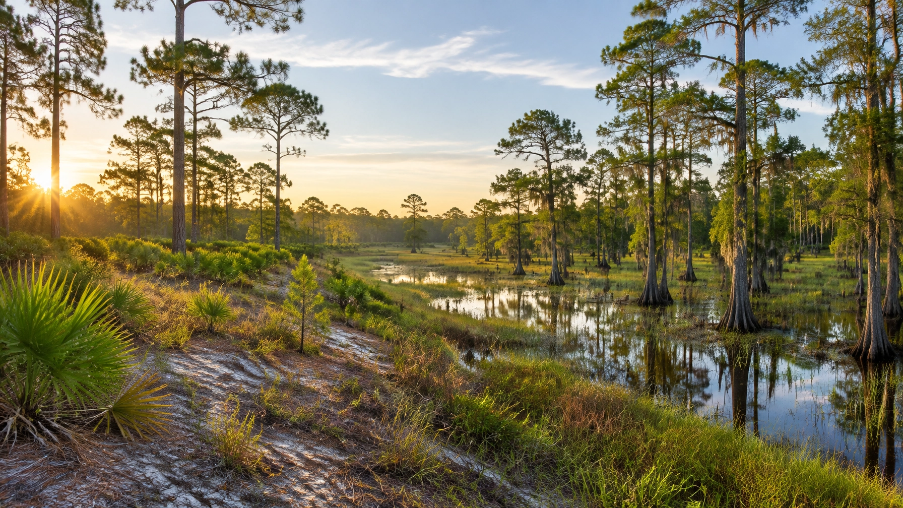
Hydrology refers to the presence, duration, timing, and movement of water. A wetland doesn’t have to look like a permanent pond.
A consultant may document:
- Standing or flowing water
- Saturated soil
- Water marks
- Drift lines
- Sediment deposits
- Drainage patterns
- Inundated depressions
- Oxidized root channels
- Evidence of seasonal flooding or ponding
In Escambia and Santa Rosa County, heavy rainfall, low-gradient terrain, shallow drainage features, and proximity to creeks, bays, and other waterways can make site conditions difficult to judge during a single visit. A property may appear dry during a relatively dry season but still meet the applicable wetland criteria.
3. Hydrophytic vegetation
Hydrophytic vegetation consists of plants adapted to growing in wet or periodically saturated conditions. The consultant records the dominant plant community and evaluates each plant’s wetland-indicator status.
Common vegetation clues may include wetland-adapted grasses, rushes, sedges, shrubs, trees, and other plants associated with low or frequently saturated areas. But vegetation alone does not determine the boundary. A cleared area, mowed lot, recently disturbed parcel, or planted landscape can make the vegetation evidence less obvious.
That’s why a proper delineation considers vegetation together with soil and hydrology. Under Florida’s method, specific tests and professional judgment may apply, including situations where soil and hydrology evidence are especially important.
When does a land buyer need a wetland delineation?
A buyer should consider ordering a delineation during the due diligence period. Before the inspection or feasibility deadline expires and before waiving applicable contingencies.
It is especially important when a parcel includes:
- Mapped hydric soils
- Low spots, ponds, swales, or wooded depressions
- Creeks, ditches, bayous, or other drainage features
- Floodplain or flood-prone areas
- Wet-looking vegetation
- Standing water after rain
- Uncertain access or drainage
- A proposed septic system or well
- A planned driveway crossing a low area
- Any advertised claim that the property is “buildable” without supporting documentation
A delineation is also worthwhile when the proposed homesite appears obvious. The question isn’t simply whether a house could fit on the parcel. The site plan must also account for the driveway, septic drainfield, well, stormwater facilities, utility routes, clearing limits, setbacks, and construction access.
A parcel can have substantial acreage but limited usable upland. That difference can affect both the property’s value and the feasibility of the buyer’s plans.
Who performs a wetland delineation?
A wetland delineation is typically performed by an environmental consultant with experience in wetland science, ecology, biology, or environmental permitting. For a Florida Panhandle purchase, look for a consultant familiar with:
- Florida’s Chapter 62-340 methodology
- U.S. Army Corps of Engineers procedures
- Escambia and Santa Rosa County site conditions
- Septic, stormwater, floodplain, and development coordination
- Agency verification or jurisdictional review
The consultant may flag the boundary in the field and prepare a report. If the boundary needs to be incorporated into a legal survey, site plan, or construction drawing, a Florida-licensed professional land surveyor may be needed for the survey work.
A surveyor and a wetland scientist serve different roles. A surveyor can accurately locate and depict flagged points, but the ecological and regulatory wetland determination generally comes from the qualified environmental professional and, when appropriate, the reviewing agency.
What does a wetland delineation cost?
There is no single statewide price because cost depends on parcel size, access, vegetation, terrain, season, mapping needs, and whether agency support is included.
Published Florida pricing examples commonly place:
- Simple small-lot delineations: approximately $375–$925
- More complete small-parcel reports or complex field scopes: approximately $2,500–$5,000
- Large, wooded, irregular, disputed, or technically complex sites: approximately $5,000–$15,000 or more
These are budgeting ranges, not guaranteed quotes. A survey pickup, formal agency verification, jurisdictional determination support, mitigation analysis, travel, expedited scheduling, or additional site visits may cost extra.
Before authorizing the work, request a written scope that explains what is included. The scope should state whether it covers field flagging, a map, photographs, a written report, Florida and federal methods, agency coordination, and survey support.

How wetlands affect building and permitting
A wetland delineation is not a building permit, septic approval, or wetland-impact authorization. It is one part of determining what may be possible on the property.
If the planned house, driveway, and other improvements avoid wetlands and regulated surface waters, the delineation can help document that avoidance. Other approvals may still be required for building, septic, stormwater, floodplain, access, or clearing.
If construction would fill, excavate, drain, alter flow, or otherwise impact wetlands or surface waters, the project may require an Environmental Resource Permit or other state authorization. Depending on the location, activity, and federal jurisdiction, a U.S. Army Corps of Engineers permit may also be necessary. Wetland impacts can create mitigation requirements, redesign costs, and longer approval timelines.
For that reason, the boundary should be evaluated against an actual proposed site plan, not viewed as an isolated line on a map.
How a delineation affects a vacant land purchase
For buyers in Escambia and Santa Rosa County, the most useful approach is to treat wetland review as part of overall buildability due diligence.
A practical sequence is:
- Review available maps, aerial imagery, flood information, and soil data as preliminary screening tools.
- Make the purchase agreement subject to environmental and buildability due diligence.
- Have a qualified consultant evaluate the property using the applicable Florida method and, when needed, the federal method.
- Overlay the delineation on a boundary or site survey.
- Test the proposed homesite, driveway, septic area, well, utilities, and stormwater plan against the mapped boundary.
- Confirm permitting, septic, floodplain, and access requirements with the appropriate agencies and county departments.
- Price redesign, mitigation, or reduced usable acreage before closing.
This process can prevent a buyer from purchasing land based on total acreage that cannot support the intended improvements.
Why Haus is a useful source for Panhandle land buyers
Haus Realty & Management Florida serves buyers and sellers in Pensacola and surrounding communities, including people evaluating residential property, lots, and land. Our role is to help buyers understand the real estate decision, identify questions for due diligence, and connect property plans with the right independent specialists.
Haus doesn’t perform wetland delineations or replace environmental consultants, surveyors, engineers, attorneys, or permitting agencies. That distinction matters. A reliable real estate resource should explain what it can evaluate, what requires technical review, and when a buyer should obtain professional confirmation. For available land and farm properties, visit the Haus Land & Farms page, and use the Haus property search sitemap to review current search options.
Frequently asked questions
Is a wetland delineation the same as a flood-zone determination?
No. A flood-zone determination addresses mapped flood risk, while a wetland delineation identifies wetland and surface-water boundaries using field evidence such as soils, hydrology, and vegetation. A property can be in a flood zone without being a wetland, and a wetland may not be fully represented by a flood-zone map.
Can a buyer rely on the seller’s statement that land is buildable?
A buyer should verify buildability independently. “Buildable” may not account for the precise location of wetlands, septic limitations, driveway access, stormwater requirements, floodplain constraints, or permitting conditions.
Can wetlands be developed?
Sometimes, but development may require avoidance, redesign, permits, and mitigation. A delineation helps determine whether the proposed improvements can be located outside wetlands or whether regulated impacts may occur.
Does a wetland delineation guarantee approval?
No. A private delineation is not automatically an agency approval, building permit, septic permit, or wetland-impact authorization. When regulatory certainty is important, the buyer should pursue the appropriate agency review or verification.
When should a land buyer order the delineation?
The best time is during the contract due diligence period, before contingencies expire and before the buyer commits to closing. The review should happen early enough to allow for surveying, redesign, agency questions, and permitting research.
Your next step as a land buyer
Before purchasing vacant land in Escambia or Santa Rosa County, make wetland and buildability due diligence a written part of your purchase plan. Work with Haus Realty & Management Florida to identify land that fits your intended homesite or investment use, then arrange the appropriate environmental, survey, septic, and permitting reviews before your due diligence deadline.